
Urban Planning
Land development, masterplans, transportation, roads, communications and distribution networks, accessibility.

Heritage
Historic buildings and town sites, important archaeological sites, and works of monumental sculpture or painting.

Architecture and construction
Housing projects, apartment homes, single-family residences, and condominiums offices, buildings.
Marine
Ships, vessels, barges, boats and other watercraft.

Commerce and retail
Retail chains, convenience stores, supermarkets, shopping outlets, food retail, restaurants, banking, automotive services and retail facilities.

Institutional facilities
Schools, universities, public spaces, parks, stadiums, sports and recreational facilities, airports, government offices, military bases.

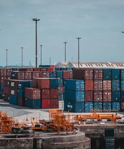
Industrial and productive facilities
Storage buildings, production plants, telecom centers, data centers, warehouse/distribution buildings and other productive assets.

Healthcare Facilities
Hospitals, clinics, nursing homes, research laboratories, development laboratories, and test laboratories.


